 As part of the development activities for our For the Record project, we’ve been looking into the history of our Alvin Street site. And we’ve unearthed some fascinating facts.
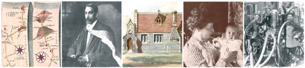
Our current building…

Opening of Kingsholm school, Gloucester Graphic, 16 October 1926
If you’ve visited us you might have guessed our premises used to be a school – Kingsholm School, in fact. The Mayor of Gloucester, Alderman William Jones, opened it in October 1926 with a golden key made especially for the occasion and there is a plaque on the wall which commemorates this event. It originally took children from 4 – 14 years old and had around 350 pupils. The new building incorporated many modern features including piped hot water to the cloakrooms! Later, it became a secondary school that eventually closed in 1973. Six years on, in 1979 it reopened as Gloucestershire Record Office, now known as Gloucestershire Archives.
What was here before the school?

D3269 Sales particulars of nursery garden
Maps from the late 1800s and early 1900s show the site was split between the Alvin Iron Foundry and a Garden Centre. Before this, it was a large plant nursery, growing a wide variety of fruit trees and ornamental shrubs. In 1853 it advertised more than 2000 apple and pear trees. The business was run by the Wheeler family on land which they rented from one of Gloucester’s charities: St Margaret’s Hospital. This hospital was founded in the mid-12th century and still survives today as a home for the elderly.
One of Gloucester’s entrepeneurs

D3269, Plan of garden ground, 1841
Before the Wheeler family started their business, a solicitor rented the land from St Margaret’s.
His name was George Worrall Counsel and his leases from St Margaret’s, which include a plan, describe our site as a ‘garden ground’.
Records from the 1820s and 30s show he owned some neighbouring land and started to lay out the network of streets which later became known as ‘Clapham’. Two of these took their names from him: Worrall Street and Counsel Street, though they have since vanished. Mr Counsel was a local history enthusiast and wrote one of the early histories of Gloucester. He was also a satirist and wrote many humorous descriptions of local people and events.
Even earlier…
We know there were some buildings on or near our site before the siege of Gloucester in 1643.

D12862, Manuscript plan of the city of Gloucester, 1600s.
They were pulled down during the siege itself so we don’t know much about them. Nor do we know what was here before then or if there are any traces of the Anglo-Saxons who lived near the King’s Holm (Palace) or the Romans whose cemetery lay further down Kingsholm Road. So we’ve now got archaeologists looking into this. We’ll let you know if they need to dig some trial pits around our site and fill you in on their findings once they’ve completed their survey.
For details and project updates visit www.gloucestershire.gov.uk/archives/fortherecord
Most of the project costs are being covered by grants and contributions from project partners. But we are seeking donations too. You can do this online at www.foga.org.uk.
![]()

Pingback: Meeting the Neighbours | Gloucestershire Archives
Pingback: Uncovering the past | Gloucestershire Archives